-
Infopoint Maderno Tel. +39 331 2356766
-
Infopoint Toscolano Tel. +39 0365 515783
Routes on foot
Welcome to the “Routes on Foot” section of the Toscolano Maderno website, where you can explore the walking itineraries that combine the natural beauty of Lake Garda with the historic and culture beauty of the area. This section will take you through some of the most stunning routes in the area, suitable for lovers of walks and excursions.
Here you will find information on how to reach them, the length, degree of difficulty and the points of interest you will find along the way. Whether you are expert walkers or simple lovers of the country ramble, here you will find the perfect itinerary to explore and appreciate the wonders of Toscolano Maderno.

Leave the main road SS45 bis at the bridge of Toscolano and drive up the the council road to Montemaderno as far as Sanico.
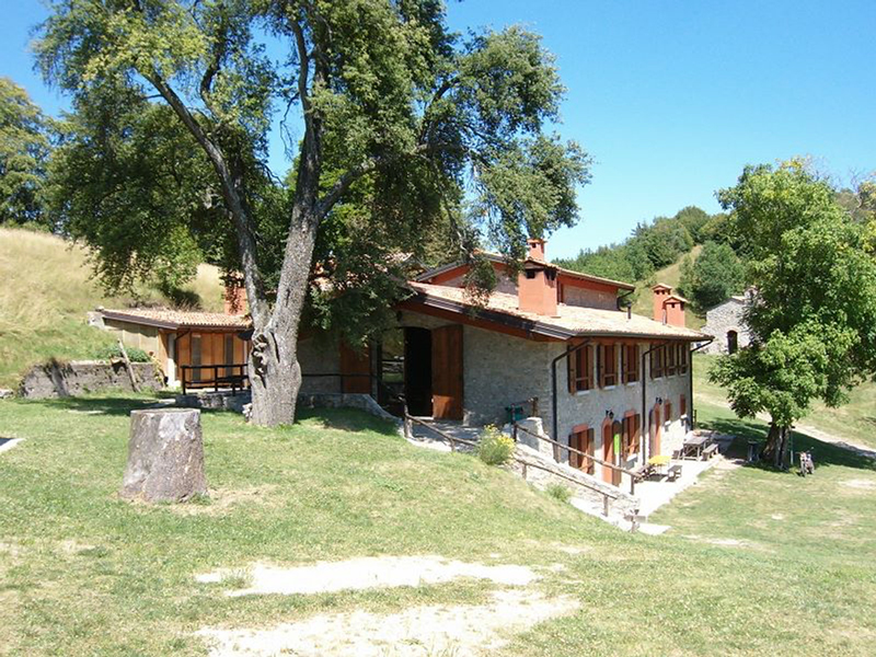
SANICO - ORTELLO - S.URBANO

Leave the main road SS45 bis near the bridge of Toscolano, go up the council road of Montemaderno as far as Sanico and on to the Croce di Ortello...
ORTELLO - PIZZOCCOLO - S.URBANO
From Maernì di Sotto take the path signed 2.7 on the right as far as the Puntesela on the Campei stream.
RIFUGIO CAMPEI DE SIMA

Drive along the main road SS45 bis as far as Ponte Lefà and turn left to the parking lot of the Church of San Giorgio(a memorial stone of a Roman woman can be seen there).
SENTIERO DEI GAS

.Park just outside Gaino, walk into the historical centre as far as Piazza Michelangelo, turn right into Via Folino – Cabiana and then after 50 m.
SENTIERO DEL CASTELLO

Take the road to Maclino from the Piazza del Ponte of Toscolano. After about 200 mt. take the steep asphalt lane on the right.
BOMBAI VIGOLE SANICO

Park beside the main road SS45bis at the Cappella dei Viandanti(1), take the panoramic path climbing up on the right above the road and continue to Messaga.
SENTIERO DEGLI ORTICELLI

From the car park in Cecina go along Via Cecina and into the historical centre. After about 150 mt.
SENTIERO DI SUPINA

From Piazza Caduti – Via Trieste walk up to the right along the panoramic path of Piè Costa as far as the crossroads, then go up to the left along Via Firenze until you get to the votive shrine with the tryptich on the council road.
ANCIENT VIA DELLE CARTIERE

From the square in Toscolano turn right to Via Monti and walk along the panoramic street dominating the small harbour of Toscolano.
PIAZZA TOSCOLANO - PULCIANO

Leave the main road SS45bis near the bridge in Toscolano and drive up to Montemaderno as far as Sanico, where you park in the centre of the village.
SANICO - VALLE DEL BORNICO

Leave the main road SS45 bis near the bridge in Toscolano and go into the “Valley of the Papermills”.
VALLE DELLE CARTIERE - GAINO

Leave the main road SS45 bis near the bridge of Toscolano and drive into the Valle delle Cartiere (Valley of the Papermills).
VALLEY OF THE PAPERMILLS – MEDIUM-LENGTH ROUTE

Leave the main road SS45 bis near the bridge in Toscolano and drive into the Valle delle Cartiere.
SENTIERO DELLE CALCHERE (ROUTE OF THE LIME KILNS) 1

MONTE MADERNO – BORNICO VALLEY

Park at the car park of Piazzale Roma ( Maderno ) along the main road SS45 bis, cross the road and go up the staircase facing the lake.
SENTIERO DEL PROCH

Take the path at Palazzo di Archesane which ,with a rise of 350 m., takes you to Passo dello Spino in about one hour.